WELCOME TO

MAP LAND
SURVEYORS PTY LTD

Title
Re-establishment Surveys

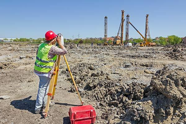
A Title Re-establishment Survey is the process of redefining and marking out on the ground the boundaries contained and located on the Title Plan attached to your Certificate of Title.

Subdivisions

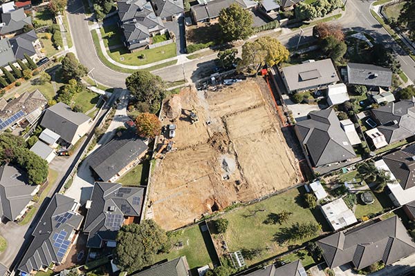
A Subdivision is the formal process of splitting a single parcel of land into two or more pieces to create individual, saleable Certificates of Title. Units, townhouses, multi-story apartments, offices, shops, factories etc. are common development sites to be subdivided.

Boundary
Re-alignment

A Boundary Re-alignment involves moving an existing boundary between two adjacent parcels of land without creating any new lots. It is usually undertaken by two neighbours who have come to an agreement.

Title Consolidation

Title Consolidation is the process of joining two parcels of adjoining land on separate Certificates of Title to create one whole parcel on one new Certificate of Title. It is usually required when a building is to be designed and constructed across an existing boundary line.

Level & Contour Surveys

This may be required by an architect, builder, or relevant water authority to determine the slope of a site or its vulnerability to flooding. The resultant plan produced will include the location of existing dwellings and sheds.

Feature & Site Analysis Surveys

A Feature & Site Analysis Survey measures and locates the position of existing features, buildings, levels (ridge & eave heights, floor levels, natural surface levels, contours provided) and significant vegetation across the site.

Application Surveys

An Application Survey is the formal process of acquiring a section of land adjacent to but not within your own Certificate of Title, which has been occupied by you for a period of no less than 15 years via Adverse Possession.

Building Set-outs

Building Set-outs are required for marking out construction lines to lay concrete slabs for a single house, or multiple units on a site to be subdivided at a later date etc. We provide competitive rates on all set-outs and provide further discounts.

Lease Area Surveys

A Lease Area Survey provides accurate lettable area information based on Property Council of Australia guidelines. We provide advice as to the appropriate lease area calculation required for your premises.

Other Services

Some of the other services our team provides are Easements (Creation, Removal, Marking on ground re-establishing) and Restrictions or Covenants. An example of a restriction is a single dwelling covenant on the Certificate of Title.

Level & Contour Surveys

This may be required by an architect, builder, or relevant water authority to determine the slope of a site or its vulnerability to flooding. The resultant plan produced will include the location of existing dwellings and sheds.

Other Services

Some of the other services our team provides are Easements (Creation, Removal, Marking on ground re-establishing) and Restrictions or Covenants. An example of a restriction is a single dwelling covenant on the Certificate of Title.

MAP LAND SURVEYORS PTY LTD

LAND SURVEYING SERVICE MELBOURNE

MAP LAND SURVEYORS PTY LTD is a Melbourne based land surveying and development consultancy dedicated to provide accurate and high-quality professional land surveying services to a vast range of clients throughout metropolitan Melbourne and Victoria.

Professional practice and advice

Accurate and high-quality land surveying services

Personalised and transparent service

Keeping the client informed

Flexible work hours (7 days a week, after hours)

Competitive rates

Fast turn-around

Flexible payment options

MAP LAND SURVEYORS PTY LTD

What Sets Our Firm Apart

Whether you are putting up a new fence, subdividing units, building a multi-storey apartment complex, a property developer or a once off (mums and dads) client, the professional team at MAP LAND SURVEYORS PTY LTD will provide you with the information, advice, guidance and professional service to successfully and smoothly complete your project.

It is our aim to continually provide personalised, professional service and advice to each and every one of our clients, in both a timely manner and at extremely competitive rates which sets our firm apart.

YOU REQUIRE A LICENSED
SURVEYOR WHEN YOU WANT TO:

Know where your property boundaries are

Build on or near your boundaries

Subdivide your property

Establish a building strata development

Measure levels to the Australian Height Datum (A.H.D.)

Claim title to land under adverse possession

Create an easement over your property

WHY USE A LICENSED SURVEYOR?

“A licensed surveyor, a surveyor who is authorised to perform cadastral surveys, is the only person legally entitled to undertake a survey to define and mark the boundaries of your property. Licensed Surveyors are registered by the Surveyors Registration Board of Victoria (SRBV). Any person, not being a Licensed Surveyor, who undertakes a boundary definition survey (a cadastral survey) is liable for prosecution, as such a survey is illegal, and would have no legal standing”. SRBV, 2011