OUR SERVICES
MAP LAND SURVEYORS PTY LTD
LEVEL & CONTOUR SURVEYS
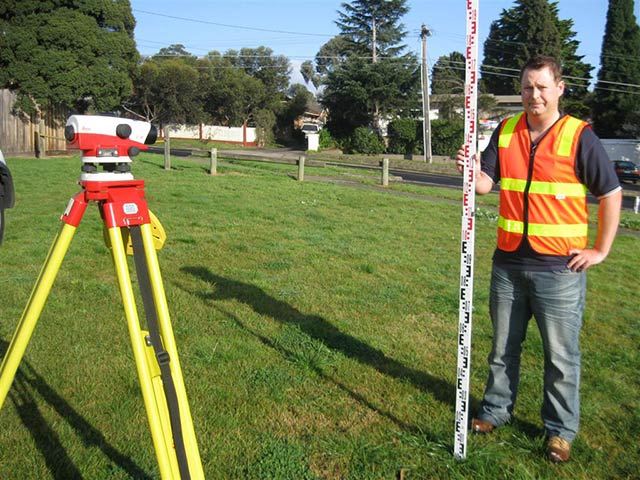
Level & Contour Surveys may be required by an architect, builder, engineer, designer, council, or relevant water authority to determine the slope of a site or its vulnerability to flooding etc.
The resultant plan produced will generally include the location of existing dwellings and significant sheds etc. on site, pits on site, existing floor level of the dwelling, kerb & channel levels and a Temporary Bench Mark (T.B.M.) for future reference during construction etc.

The level and contour surveys we undertake at MAP LAND SURVEYORS PTY LTD can be connected to the Australian Height Datum (A.H.D.) by us when requested. Please note that only a Licensed Surveyor is legally allowed to connect to the A.H.D. level datum network.
A fast-turnaround on all level and contour surveys is available.
Levels and Contours measurements combined with a Title Re-establishment survey and or Feature Survey result in an even more competitive rate.
